Colorado Front Range assorted Maps
These maps are from various projects I have worked on through GEOG 4081 (Cartography) at CU: Denver. They all show the front range in different ways, elevation, transportation, etc.
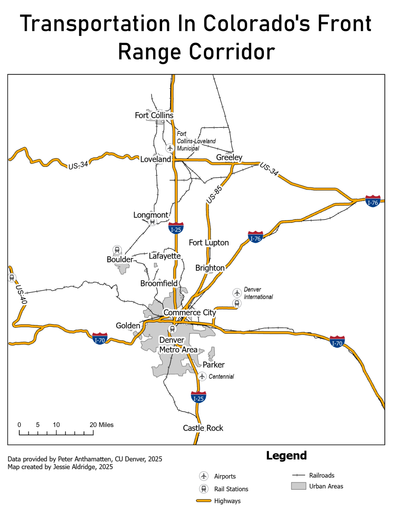
Transportation Map
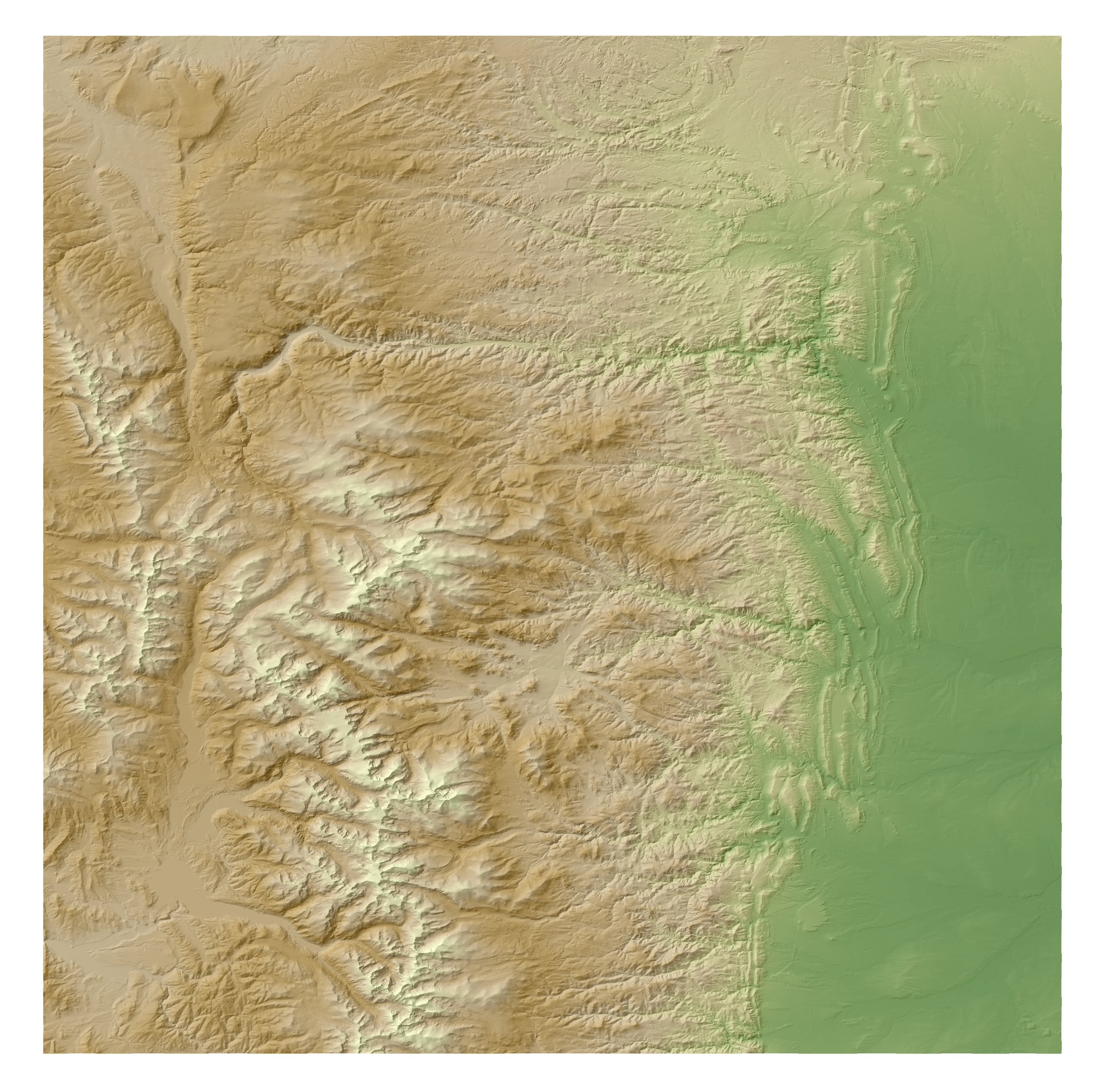
Large Scale DEM Raster showing Topography
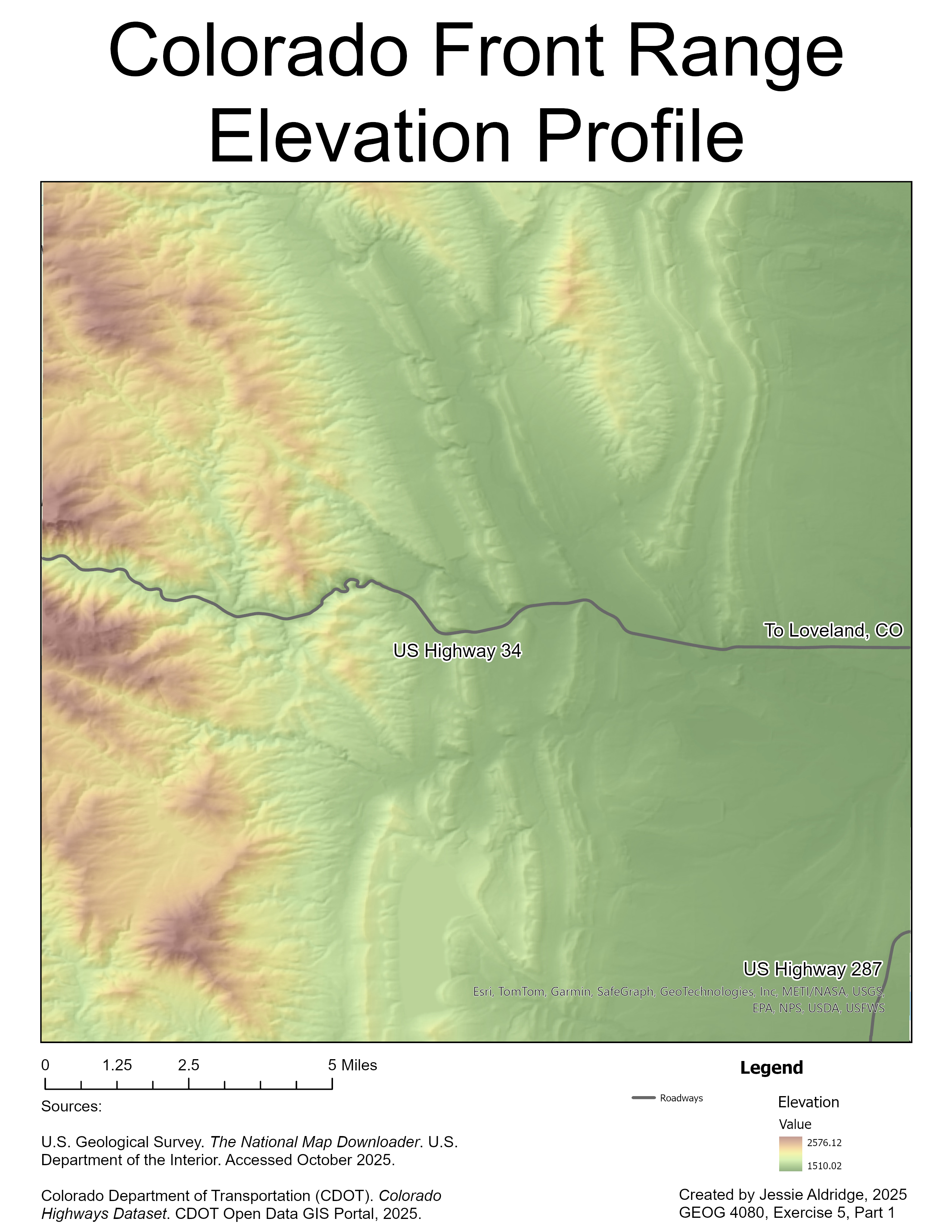
Zoomed in DEM Raster showing Topography
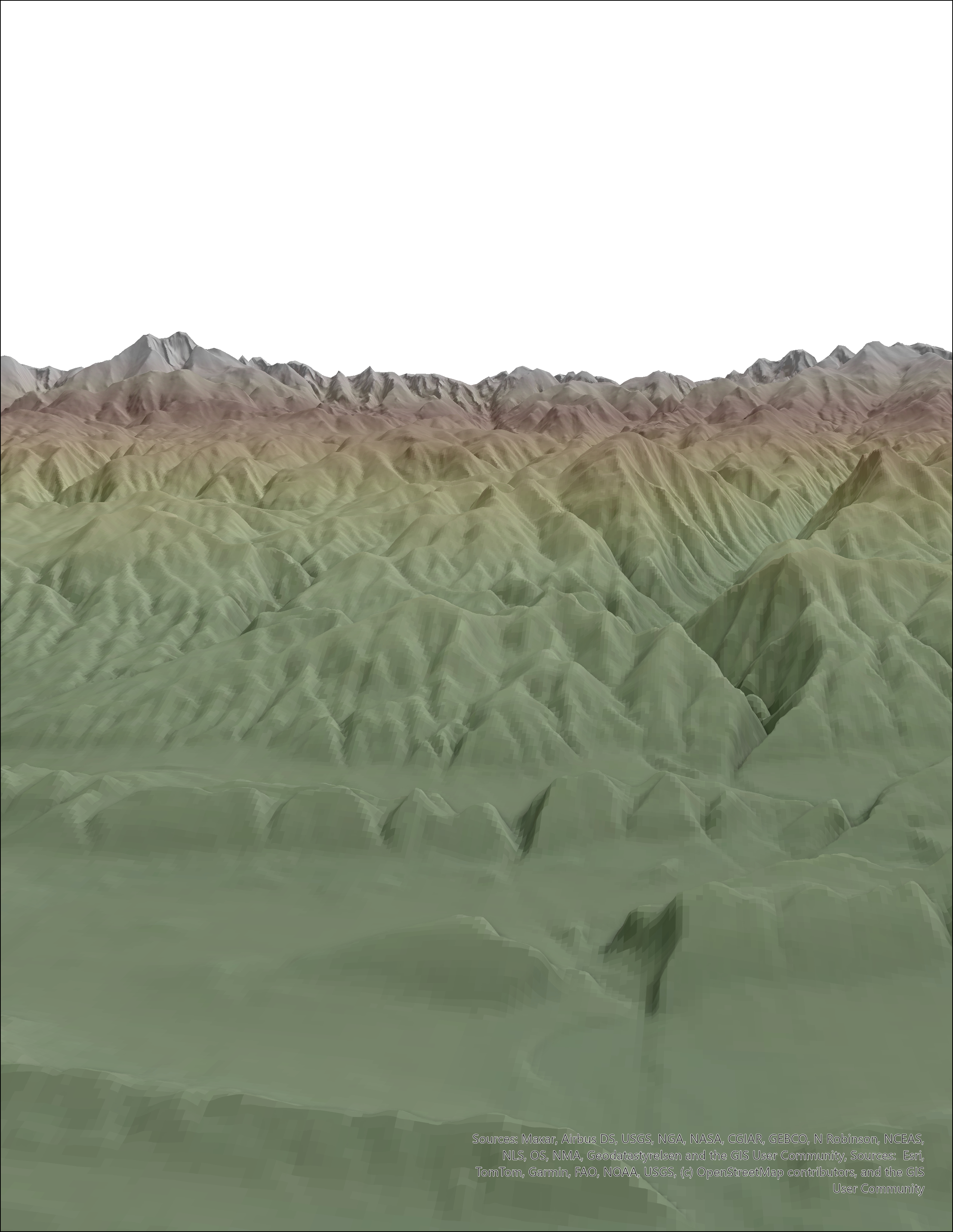
3D Elevation Visualization of the same location as the previous map
The Front Range has many interesting features to map, if you have never visited check it out!